Should We Fear the "Monster" El Nino?

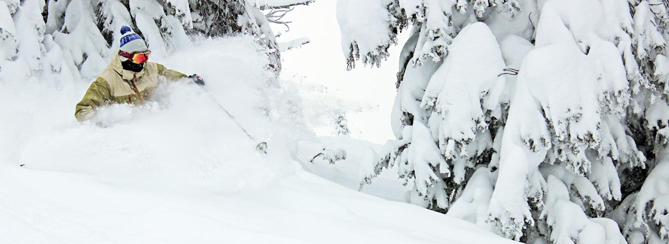
El Nino Powder – 2009-2010 Season
It’s about this time each year when the frenzy begins:
“Will we have a good snow year?”
“What do the forecasters say?”
This year, the questions started even earlier thanks to the widespread news of the impending “Monster El Nino”. Climatologists are predicting one of the strongest El Ninos on record. Naturally, snow lovers want to know what that means for our powder prospects here at Brundage Mountain.
In general, El Nino patterns are marked by an eastward-shifted jet stream, which splits somewhere in the middle of North America.

This US News article does a good job of explaining the basics. Climatologists tend to characterize El Nino as creating ‘warmer, drier’ conditions in both the Pacific Northwest and the Northern Rockies. But that explanation does not quite fit what we see at Brundage Mountain.
There is no ‘typical El Nino’ pattern at Brundage Mountain. Some El Nino seasons bring below average snowfall, some bring above average snowfall and others bring…well…pretty average snowfall. I wrote about that last year at this time.
BUT – This year’s talk is of an extremely STRONG El Nino. When we look at the STRONG El Nino years, we see some encouraging signs.
Granted, there are only two STRONG El Nino years in our record books. The most recent is 1997/1998 and we sure like the looks of that one. We had 390 inches of season snowfall and opened on November 26 that year.
The other strong El Nino was 1982-83. We opened on November 25th that year. Unfortunately, our records of season snowfall don’t reach that far back, so it’s hard to compare that definitively to our recent trends. Does anyone remember that particular winter (or 97-98)? We would love to hear your recollections in our blog comments.
The other thing worth mentioning is our notion of an ‘average year’. I’m not sure ‘warmer and drier’ than average is something to get worked up about in this day and age. Only three of the last ten years have been above average years. (2005-06, our beloved 2007-08 and 2010-11).
So even a year that was slightly warmer and drier than ‘average’ could still produce more snow than we’ve seen the past few seasons.
I made this crude graph to illustrate the point:

The pink line is our average snowfall – 325 inches. The green graph on the left shows the El Nino years for which we have snowfall totals. Again, we love the looks of 97-98, the season that the experts keep bringing up as a comparison to this coming season. But look at the next three El Nino totals: 305 inches, 300 inches, 277 inches. Compare those years to the graph on the right, with snowfall in blue, and you’ll see that by recent standards, those look pretty darn good.
So, what’s MY prediction? As someone with strong ‘weather-geek’ tendencies but no actual qualifications, I am going to stick with what I’ve said in the past, because it’s always been true. I predict that it will snow. And the more days you spend skiing or riding on the mountain, the more fun you will have.
Let the snow dances begin. And don’t fear the monster El Nino.
– April

 Closed
 Open
Open


