
Top Bird Cam
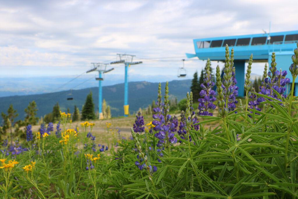
This view is from the top of the Blue Bird Quad, elevation 7640′. View rotates automatically. Click image for larger view.
10AM - 4:30PM
Downhill trails are strictly downhill bike travel only, no hiking allowed.
All XC Bike Trails are multi-directional and are also open to Hikers. Please Be Aware of Other Users.
Closed-toe shoes recommended!
Map and scorecard available at UDisc
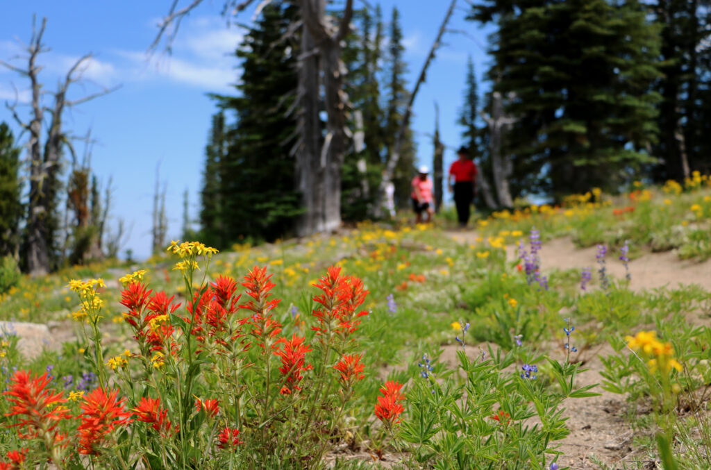
Brundage Mountain is a beautiful place to explore on foot, with hiking options to fit every level of fitness and ambition. Ride Bluebird Express to the summit before descending 3.1 miles down South Lodge Lane to the base area (or hike up AND down for a 6.2 mile adventure). For a shorter but still stunning hike on the summit, try our Hidden Valley Overlook trail, which is 2/3 of a mile out and back. Before heading out for a hike, please check the Summer Trail Report for trail status and closures.
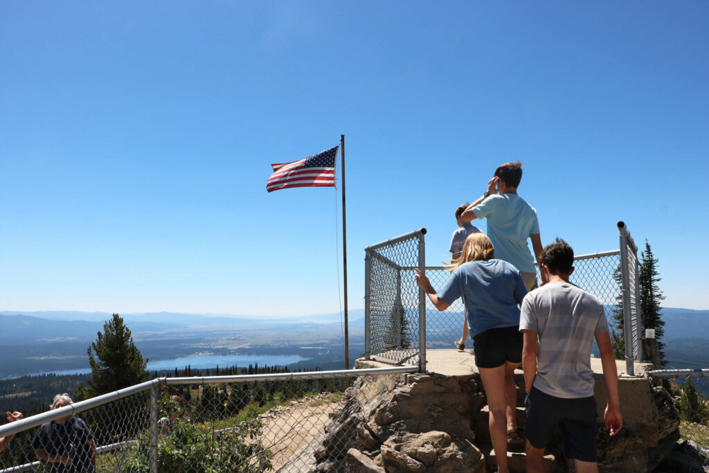
Hidden Valley Overlook offers 360 Degrees of WOW!
From the top of the Bluebird Express, turn left (North) and look for the trailhead sign just beyond the Ski Patrol HQ Cabin. This short trail (.3 miles each way) is a short hike with huge rewards.
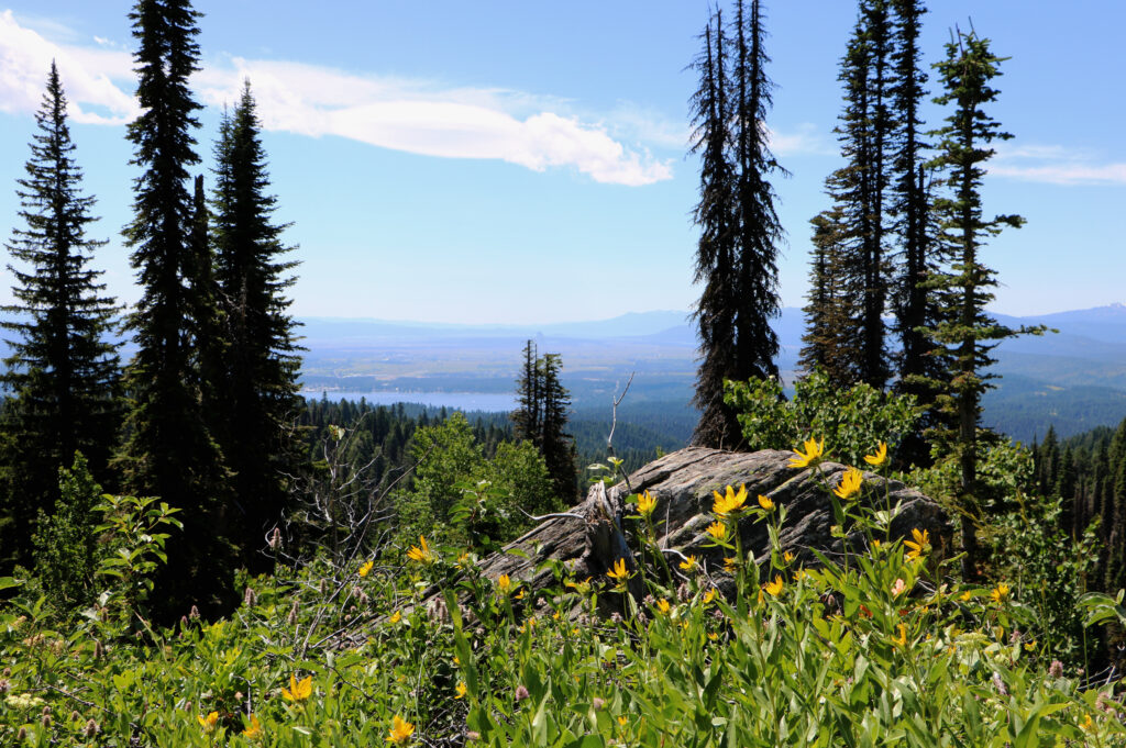
Enjoy views of Hidden Valley, Granite Mountain, and the Seven Devils to the North, the Salmon River Mountains to the East and the Payette Lakes to the Southeast…all from one gorgeous spot!
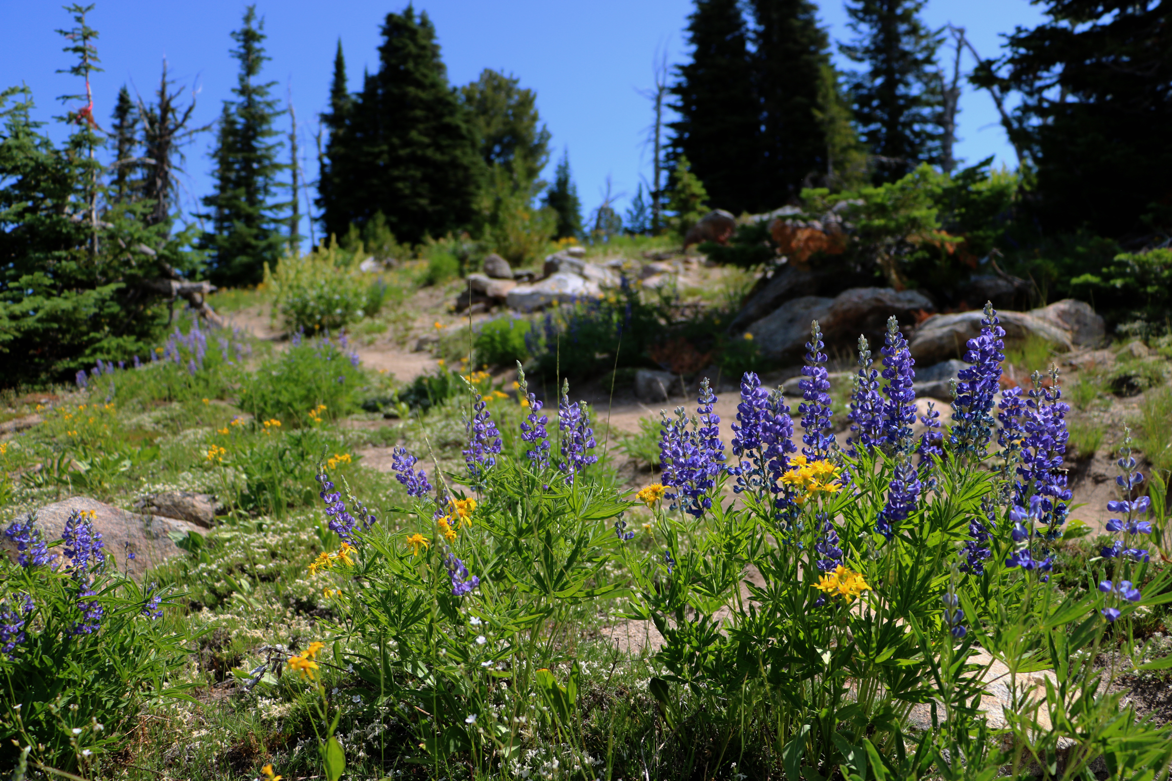
From the top of the Bluebird Express, turn right (South) and look for the trailhead sign just beyond the Restroom Cabin. The Lookout Trail is rocky but relatively flat. The short trip along the summit ridge to the Lookout is blanketed with wildflowers and wrapped in stellar views. Peek to the East for vistas of the Lick Creek/Salmon River mountains.
Please note: The Brundage Lookout is an active Forest Service Fire Lookout. There is a viewing platform that is open to the public, but the tower itself is not open to the public. Please be respectful of the fact that the lookout itself serves as someone’s residence and active workplace.
Take the BlueBird Express to the summit, then follow the Cat Track south and turn left onto FS Road 456 (marked “Lakeview Vista”). Enjoy a scenic, 2.8-mile shared-use trail with great views. At the Growler Trail crossing, stay right on the jeep road for 0.25 miles to reconnect with the Cat Track.
From there, choose:
Estimated time: 3+ hours at a moderate pace.
Hike the Whole Mountain via the Cat Track – 6.2 or 3.1 miles
Take on a 6.2-mile round trip by hiking the Cat Track from the base to Brundage Mountain’s 7,640-foot summit and back. This wide trail winds through scenic terrain, passing wildlife hotspots like Bear Chair knob and offering views from Temptation Saddle. At the top, enjoy stunning 360° views.
For a shorter option, ride the Bluebird Express up and hike 3.1 miles down. Don’t forget water and snacks!
The Greenhorn, Hammerhead and Thorn Creek trails were built for XC Mountain Bikers, but these trails are equally as charming for those exploring on foot. You can find the Greenhorn Trail at the West End of the Main Parking Lot.
The Goose Creek Trail is a popular out-and-back hike to Goose Creek Falls. The trail head is located at the western end of the Gordon Titus High Elevation Parking lot, off of Goose Lake Road. Enjoy this hike as part of your Brundage Mountain adventure!

This view is from the top of the Blue Bird Quad, elevation 7640′. View rotates automatically. Click image for larger view.

This view is from the top of the Bear Chair, elevation 6490’. View rotates automatically. Click image for larger view.

View across Payette Lake towards back side of Brundage from May Marina.