R.I.P. Icebox Corner
Fall is officially here and that means it’s time for an update on the giant road construction project on Goose Lake Road. In our latest installment, we say goodbye to a corner that caught many a driver in its winter trap. Here at Brundage, we call it “Icebox Corner”. Others may know it as ‘The Hairpin’. For the purposes of the construction project, its replacement is officially referred to as the “Thorn Creek fill”.
No matter what name you may have given it over the years, it has been a headache. The narrow road, sharp turn and steep grade have caused a high number of accidents and slide offs, and even more close calls as winter weather can make it tricky to navigate this sharp turn while staying in a narrow lane.
This winter, drivers will no longer need to worry about this white-knuckle corner. While the final phases of the construction project won’t be completed until next summer, the Icebox Corner has already been laid to rest.

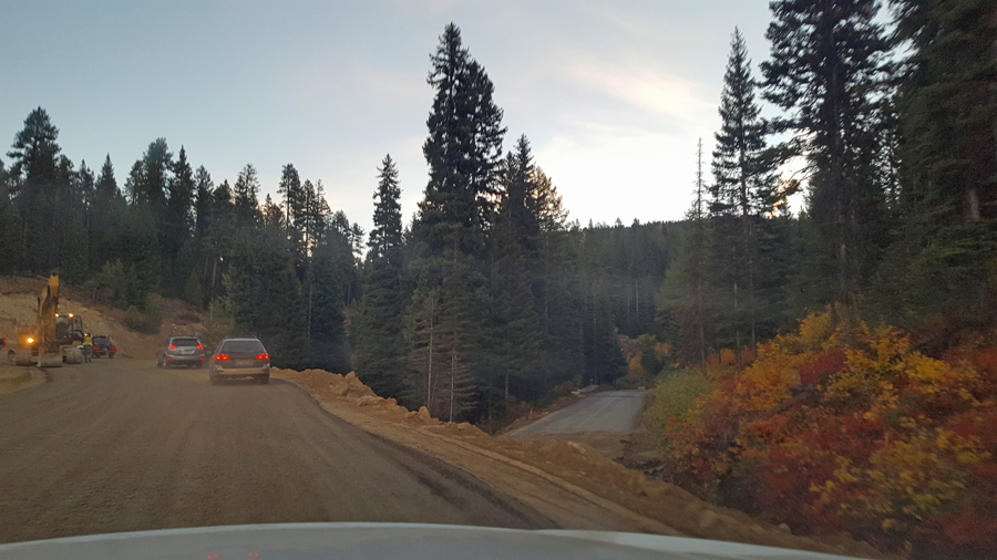
Check out the YouTube clip below for a look at what it’s like to drive across the new ‘Thorn Creek fill’. A gentle curve, a more gradual climb, a wider road bed.
A few seconds in to this video, the amateur videographer pans over to the right and you can see the old piece of road leading into the hairpin. (Also pictured in photo above).
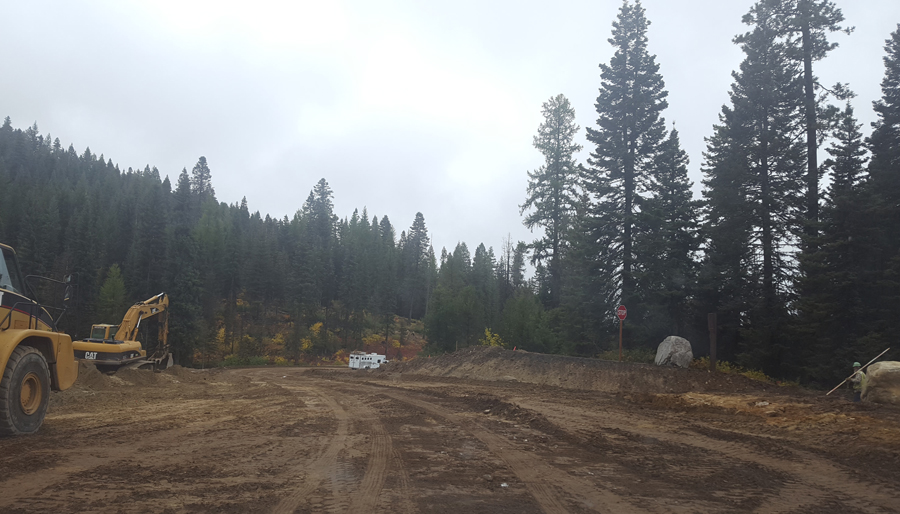
At the very end of the short video, you can see a stop sign on the left side of the frame. That is the stop sign at the top of the exit from the Gordon Titus snowmobile parking lot.
This photo shows the view from the other side, above the new fill. (The same stop sign is visible toward the right side of the frame, with the horse trailer visible on the new stretch of road).

This significant step means Icebox Corner will vex us no longer! This new stretch of road will be paved in time for winter travel. For a closer look at what it took to complete this 75-foot-tall fill, we invite you to check out our Mid-Summer Update.
The other big project right now is closer to where Goose Lake Road intersects Highway 55.
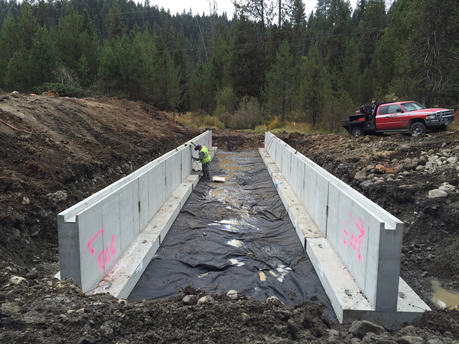
The bottom stretch of the road has been completely closed (with a lovely detour option through Bear Basin) for the past week to remove two existing stream crossing culverts and replace them with two new Aquatic Organism Passages (AOP).

The old culverts served as barriers to fish and other wildlife looking to pass through the project. Their removal and the construction of the new AOPs should alleviate this issue.
This $10 million project is part of the federal Forest Highways Program, which targets high-use roads on public lands. A combination of realignment, clearing, and widening will provide safer access to the mountain (and recreation areas farther up Goose Lake Road) in all four seasons.
The goal is to have all of the earth moved before winter weather sets in. Next summer, crews will finish the project by removing the existing pavement, re-purposing that into the road base and then repaving the entire four-mile stretch of road from Highway 55 to Brundage Mountain.
We’ll bring you more updates as construction crews reach new milestones. In the meantime, please join us as we say a fond (?) farewell to the infamous Icebox Corner. Rest in peace.
- April

 Open
Open


