 Closed
 Open
Open
Brundage SnowCat Program Applauds Forest Service Order on Granite Mountain
Payette National Forest Supervisor Keith Lannom signed a Special Order on December 15, 2011 closing 4,730 acres of terrain on Granite Mountain to over-snow motor vehicle use from January 15 – March 31, 2012.
“The focus of this initiative is to provide exceptional winter recreational experiences for all. The Payette and its partners, such as the Winter Recreation Forum, and area communities worked together so that this area continues to be known for offering high-quality winter outdoor activities for experts, families, and people of all ages and abilities,” said Forest Supervisor Keith Lannom.
The Special Order is a one-year trial and is the result of several years of collaboration and public comment.
“We want to thank the Winter Recreation Committee for coming together to find consensus on this issue,” said Brundage Mountain President and General Manager Rick Certano. “Both local and regional recreationists, including snowmobilers, backcountry skiers, alpine skiers, as well as the County Commissioners, worked with the Forest Service to find common ground and get this accomplished.”
The two and a half month closure means no snowmobiles would be allowed to operate in this area from January 15 through March 31.
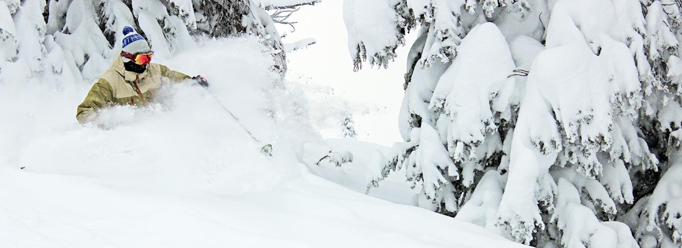
“This will allow our backcountry Snow Cat clients and other backcountry skiers to enjoy prime conditions on top-notch terrain like North and South Dead Tree, Baby Face and Free Willy,” said Brundage Mountain Snow Cat Adventures Manager Niki LeClair.
Snowmobiles can still access Granite bowl via the boulevard or from the Twin Lakes area.
The Winter Recreation Committee also found consensus on winter use of some other popular areas, and agreed to support the continued shared use of Slab Butte and another area known as ‘76’.
The Payette National Forest has produced a map that shows areas closed to motorized over snow vehicles This map is now available to the public, free of charge, and is available at all PNF offices, at major winter Trailhead kiosks, and on the PNF web site.
The Granite closure area was specifically designed to utilize the already existing and approved snow-cat roads for closure boundaries. The southern boundary is Six Mile Creek, and the western boundary is Road 294, both are easily definable geographic and man-made features, which should help snowmobilers easily recognize the boundaries on the ground.


